On The Arizona Road
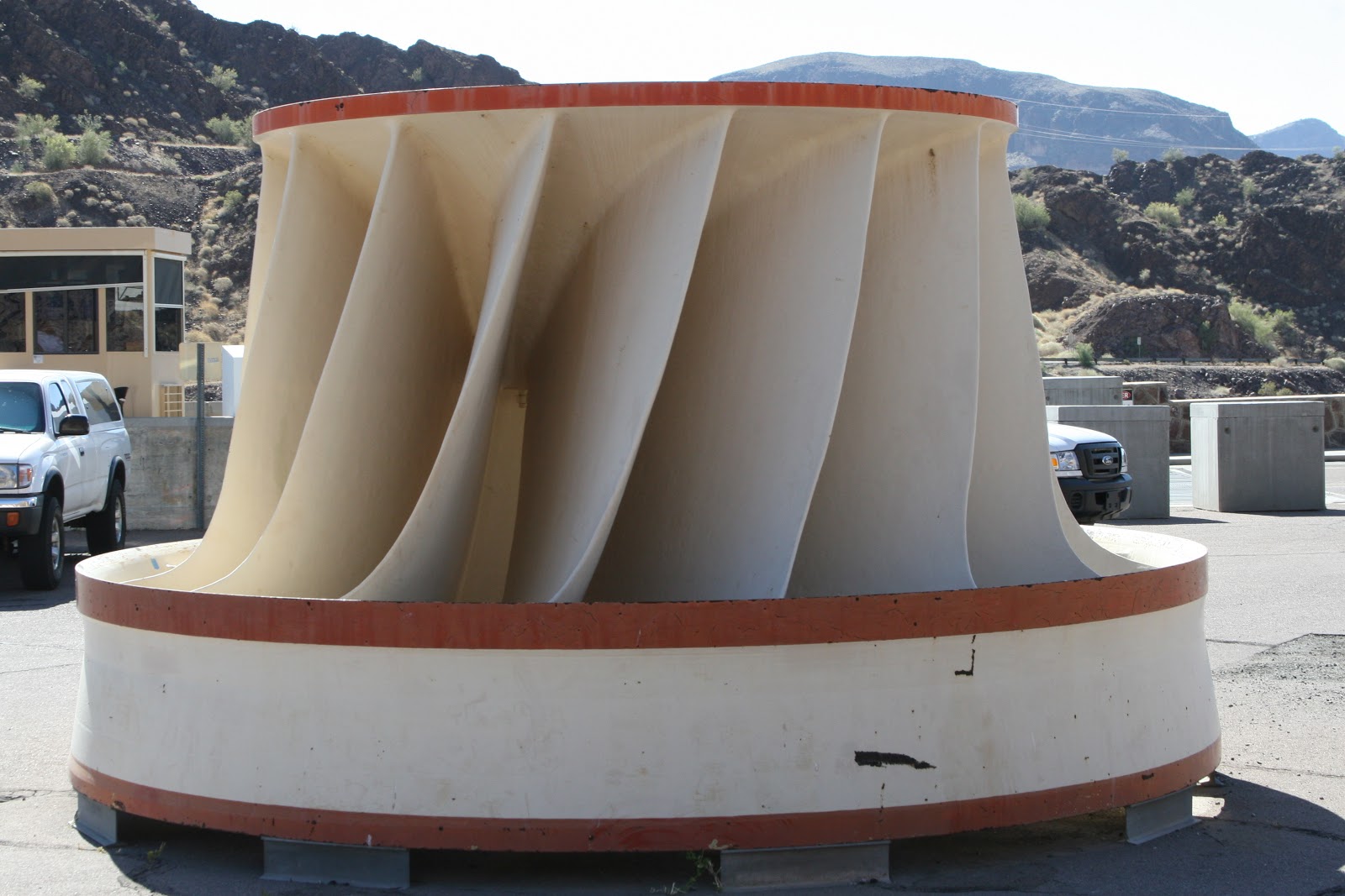
Parker Dam is a concrete arch-gravity dam that crosses the Colorado River 155 miles (249 km) downstream of Hoover Dam. Built between 1934 and 1938 by the Bureau of Reclamation, it is 320 feet
(98 m) high, 235 feet (72 m) of which are below the riverbed, making it "the deepest dam in the world". The dam's primary functions are to create a reservoir, and to generate hydroelectric power. The dam straddles the border between California and Arizona. The reservoir behind the dam is called Lake Havasu and can store 647,000 acre·ft (798,000 dam³) or over 210 billion US gallons.
Colorado River pumping station upstream from Parker Dam
lifts water to the Colorado River Aqueduct then to California.
Lake Havasu City is a city in Mohave County, Arizona, United States. According to 2010 Census Bureau estimates, the population of the town is 52,527. It is served by Lake Havasu City Airport. Lake Havasu City is the largest city in Mohave County.
Are two species of bird in the genus Geococcyx of the cuckoo family, Cuculidae, native to North and Central America. These two species are the ground foraging cuckoos.
Lake Havasu City
London Bridge
Is a bridge in Lake Havasu City, Arizona, United States, that is based on the 1831 London Bridge that spanned the River Thames in London, England until it was dismantled in 1967. The Arizona bridge is a reinforced concrete structure clad in the original masonry of the 1830s bridge, that was bought by Robert P. McCulloch from the City of London. McCulloch had exterior granite blocks from the original bridge numbered and transported to America, in order to construct the present bridge in Lake Havasu City, a planned community he established in 1964 on the shore of Lake Havasu. The bridge was completed in 1971 along with a canal, and links an island in the lake with the main part of Lake Havasu City.
One Legged Duck
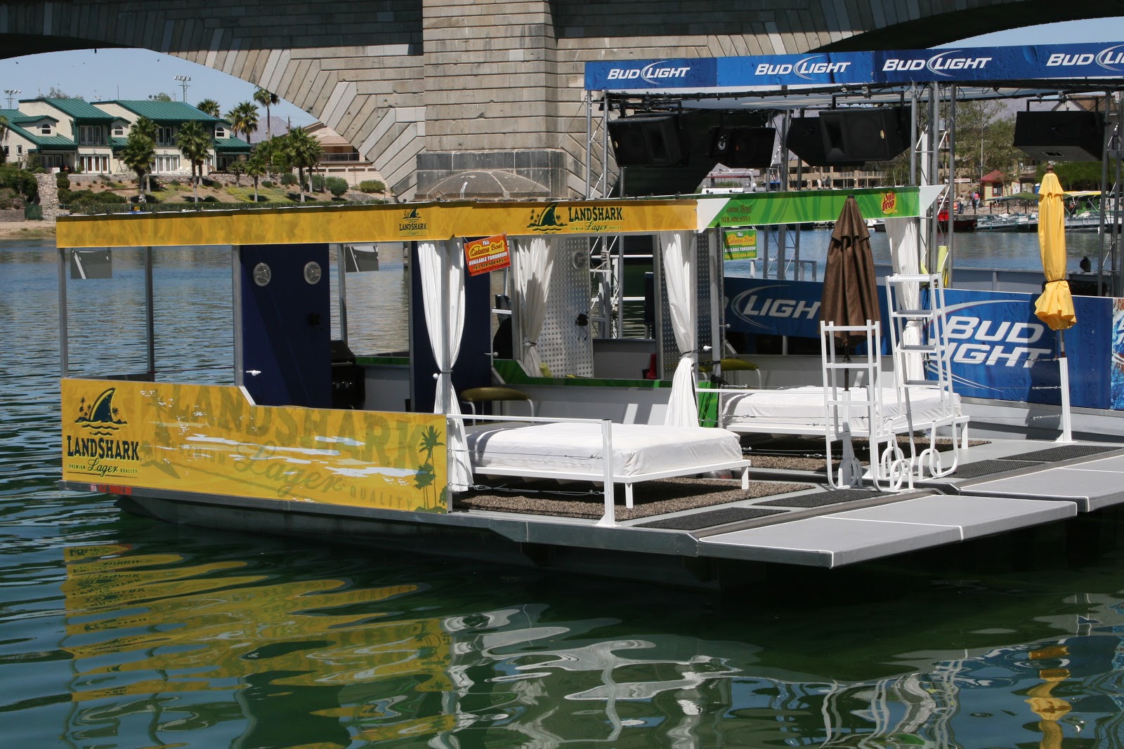
Cabana Boat 928.486.6951
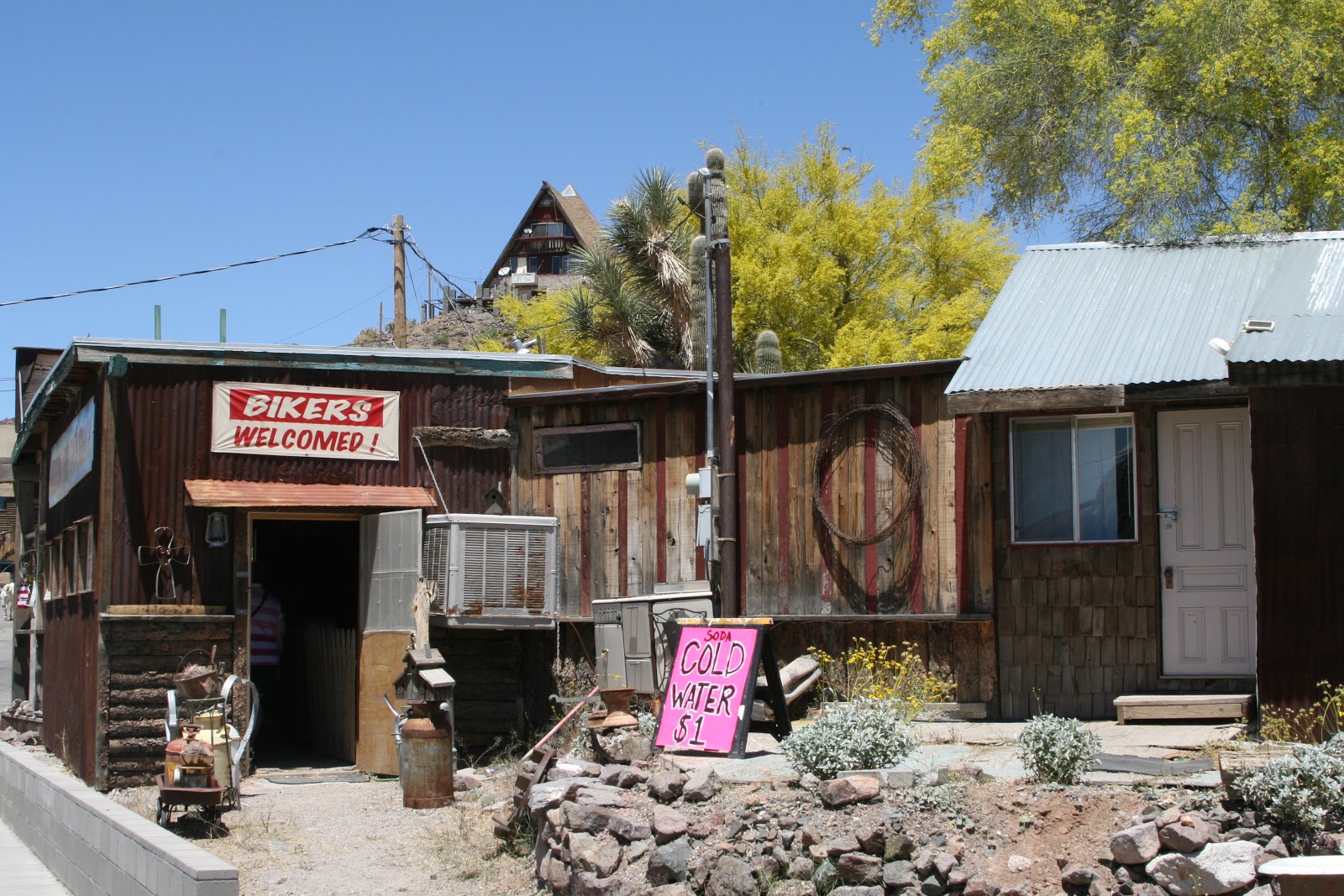
Oatman is a former mining town in the Black Mountains of Mohave County, Arizona, United States. Located at an elevation of 2,710 feet (830 m), it began as a tent camp soon after two prospectors struck a $10 million gold find in 1915, though the area had been already settled for a number of years. Oatman's population grew to more than 3,500 in the course of a year.
A volunteer Fire Department on historic Route 66, 15 miles east of the Colorado River, located midpiont between Laughlin, Nv., Needles, Ca., and Kingman, Az. The Department serves a turn-of-the-century gold mining town that recieves over 700,000 visitors per year. There are still a few gold mines operating in the area. Department Members are trained to respond to all emergencies in the area.


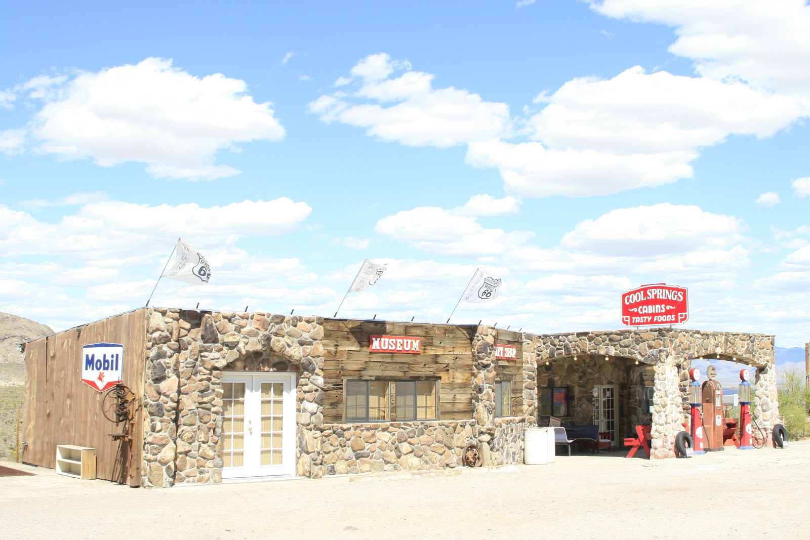
Ned and Michelle Leuchtner have a dream! Last year they bought the ruins of the old Cool Springs Camp and plan on restoring it to its former glory. Originally built in 1926, this Mobil Oil Station serviced Route 66 travelers until it burned in 1966. During the hey day of Route 66 it had a cafe and tourist cabins and was the last stop before the much feared Gold Road and Sitgreaves Pass. Ned, a real estate agent, and his wife, Michelle, are from Chicago and plan to eventually relocate to the land of little moisture, fresh air and abundant sun of the Arizona desert on Route 66. The resurrection of Cool springs Camp will be a boon to the Mother Road. Thanks to preservationists like the Leuchtner's the experience of old Route 66 will live on for future generations to enjoy.
Darren just hanging out
Williams is a city in Coconino County, Arizona, United States west of Flagstaff. Its population was 2,842 at the 2000 census; according to 2006 Census Bureau estimates, the population of the city is 3,094. It lies on the route of Historic Route 66, Interstate 40, and the Southwest Chief Amtrak train route. It is also the southern terminus of the Grand Canyon Railway, which takes visitors to Grand Canyon Village.
Because of its location near the South Rim of Grand Canyon National Park, Williams is a major tourist stop and has many inns and motels. Restaurants and gas stations may be seen serving mainly tourists rather than local residents, especially during the summer and holiday seasons.
Santa Fe Reservoir is created by Santa Fe Dam on Cataract Creek in Coconino County, Arizona and is used for drinking water purposes. Construction was completed in 1892. At normal levels it has a surface area of 14 acres. It is owned by the City Of Williams.
Santa Fe, also known as Santa Fe Reservoir is masonry. The foundation is rock. Its height is 44.3 feet with a length of 454 feet. Maximum discharge is 700 cubic feet per second. Its capacity is 260 acre feet. Normal storage is 215 acre feet. It drains an area of 4.7 square miles.
Camp Navajo is a Multi-Service Training Site. Not only is Camp Navajo used for training by all branches of the military service; Army, Air Force, Navy, and Marines (Active and Reserve), Camp Navajo is the primary training site in the State of Arizona for maneuver training and is capable of supporting battalion size units.
Camp Navajo encompasses 114.3 square kilometers (km2) (28,255 acres) in a temperate climate and is classified as an intermediate training area (ITA). Training Ranges.
The San Francisco Peaks
Till Next Time!!


