
497 North Main Street
Moab, UT 84532
(800) 635-1792

Porcupine Shuttle offers hassle-free loading
& unloading of your bikes and gear.
(435) 260-0896


Moab is known as a Utah adventure capitol, offering activities such as biking the Slickrock Trail, off-road routes and the Moab Jeep Safari, rafting down the Colorado River and hiking to Delicate Arch - Utah's famous icon. From scenic parks to adventure, Moab Utah offers something for everyone.
Many of the world's most famous mountain biking trails are located near Moab, including Slickrock, the trail that launched the fat tire craze.


3375 Mountain View Blvd
Angel Fire 87710 NorthEast
575-377-2774

Snowed in Moab on Wednesday


Windy and Dusty on Tuesday


Old School North on Hwy 191 outside Moab


Found these Mule Deer in the Dead Horse Point State Park
Was able to walk up to the five feet away.


The Texasgulf Potash Pond Three B can be found on the Shafer Basin USGS quad topo map. Texasgulf Potash Pond Three B is a reservoir in Grand County in the state of Utah
Anyone interested in fishing Texasgulf Potash Pond Three B should consult with local guides and resources before heading out to fish.

Rod Thinking


Dinosaur Track
On Klondike Bluffs Trail Moab

Rod standing next to Halfway Stage house
on the Baby Steps Trail

Darren.


The trail that made Moab the center of the mountain biking universe needs no introduction. Today, Slickrock is perhaps the most popular mountain bike trail in the world, boasting over 100,000 visitors per year. But did you know that the Slickrock Bike Trail was first developed by motorcyclists in 1969? They still use it periodically, but mountain bikers have long since adopted and dominated the trail.
The need to focus on where to place your front tire often overshadows Slickrock's immediate and surrounding beauty. Wandering eyes will discover intricate features and shapes in the petrified sand dunes that comprise the trail. Pockets of sand-support tenacious shrubs and potholes behold a microcosm of life that awaits the next rainfall. The entire trail crosses an elevated platform of sandstone bound by cliffs cut by the Colorado River and its tributaries. There are many opportunities to peer into shadow-filled canyons, or gaze upon Arches National Park across the Colorado. Backdropping the bleak desert-like terrain is the anomalous alpine beauty of the La Sal Mountains on the eastern skyline. Flanked by dense forests and capped with barren summits that collect snow from fall through spring, the 12,000-foot tall La Sals provide a surreal backdrop to any Slickrock photo.

The La Sal Mountains are located in Grand and San Juan counties, near the eastern border of the state of Utah, and rising above the town of Moab. This range is part of the Manti-La Sal National Forest and the southern Rocky Mountains. The maximum elevation is at Mount Peale, reaching 12,721 feet (3,877 m) above sea level. The range contains three clusters of peaks separated by passes. The peaks span a distance of about 18 miles (25 km). The name of the range dates to Spanish times, when the Sierra La Sal (meaning the "Salt Mountains") were a prominent landmark on the Old Spanish Trail between Santa Fe and Los Angeles. The range is also known as the La Sal Range.


Brent Riding on the Porcupine Rim Trail


Located south of Moab, this tram ride carried tourists through the Utah sky for 12 minutes. It was one of the few rides in Moab that did not require a helmet. The lift unloaded tourists along the Moab Rim, allowing non-bikers to marvel at the the surrounding desert landscape from an elevated perch. The ride was especially accomodating for handicap visitors. Unfortunately, the Moab Skyway was shutdown in early 2007. The lift has since been dismantled.


Rod, Brent and Beth

Porcupine Rim Trail

Porcupine Rim Trail follows the eage of the mountain
one foot wide and then 300 feet down

The top of the Porcupine Rim Trail

Yellow-Headed Collared Lizard

At the end of the Porcupine Rim Trail
and then five mile road ride along
the Colorado River back to Moab.


Making a commercial
All brand new and all stock


Rod at the top on Slickrock

This route's namesake attraction, Gemini Bridges, is a massive rock span that has been cleaved down the center into two parallel bridges. But what makes this ride so unique is that the trail dumps you on to their flat tops, where you peer over the edge into the 250-foot void of Bull Canyon. No neck craning required; rather, tolerance for heights. Naturally, the vistas from this elevated perch are sublime. The sandstone stumps of Monitor and Merrimac Buttes guard the northern horizon, features of Arches National Park can be seen to the far east, and the 12,000-foot tall La Sal Mountains float in a sea of red rock.


Rod standing on top of Gemini Bridges

Arches National Park & La Sal Mountains


The U.S. Department of Energy has started a project to move 16 million tons of uranium tailings from the banks of the Colorado River, near the city of Moab, to a permanent disposal site 30 miles north, near the town of Crescent Junction. This project is called the Moab Uranium Mill Tailings Remedial Action (UMTRA) Project.

600 North Main Street
Moab, UT 84532
(435) 259-7312


Activities in the oil and gas program include approximately 43 currently producing oil wells and 270 currently producing natural gas wells.


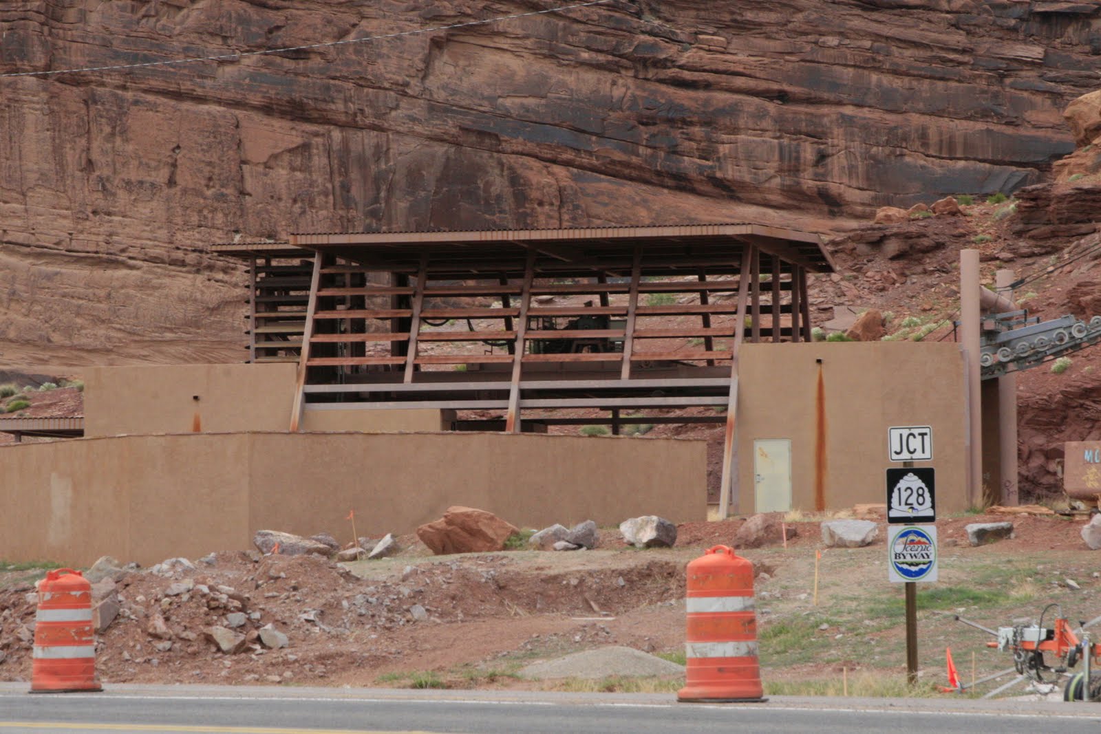
New home being built into the rock


No comments:
Post a Comment