The Sierra Ancha Experimental Forest, located on the Tonto National Forest about 48 km northeast of Globe, Arizona, was established in 1932 as a research area devoted to studying watershed management. This 5,364- ha experimental area is typical of watershed and vegetation conditions throughout the Southwest, particularly in Arizona.
The climate, soil, and physiography are typical of much of the southwestern region, and are particularly representative of the Verde, Salt, and Upper Gila watersheds. The Sierra Ancha lies along the crest of the Sierra Ancha Mountain range and includes areas between 1,082 to 2,354 m in elevation. Vegetation types within the forest range from semidesert shrub and grassland to the pine-fir forests at higher elevations.


Young Arizona is situated in Arizona's eastern mountains, just below the Mogollon Rim at an elevation of 5,200 feet. The town is completely surrounded by the Tonto National Forest and is served by two roads. Highway 288 from the south has 35 miles of unpaved surface, and Forest Road 512 from the north is not paved for about 16 miles. Both are mountainous and have steep grades and curves. In wet weather or snow, 4-wheel drive is recommended. Cherry Creek hill that climbs out of Young to the north was recently paved for 4.7 miles. Paving will be ongoing, as Federal funds become available.
Upper Canyon Creek Campground lies just below the Canyon Creek Fish Hatchery. Areas surrounding Canyon Creek were devestated by the Rodeo Chedeski fire a few years ago but Upper Canyon Creek Campground show no signs of the fire.
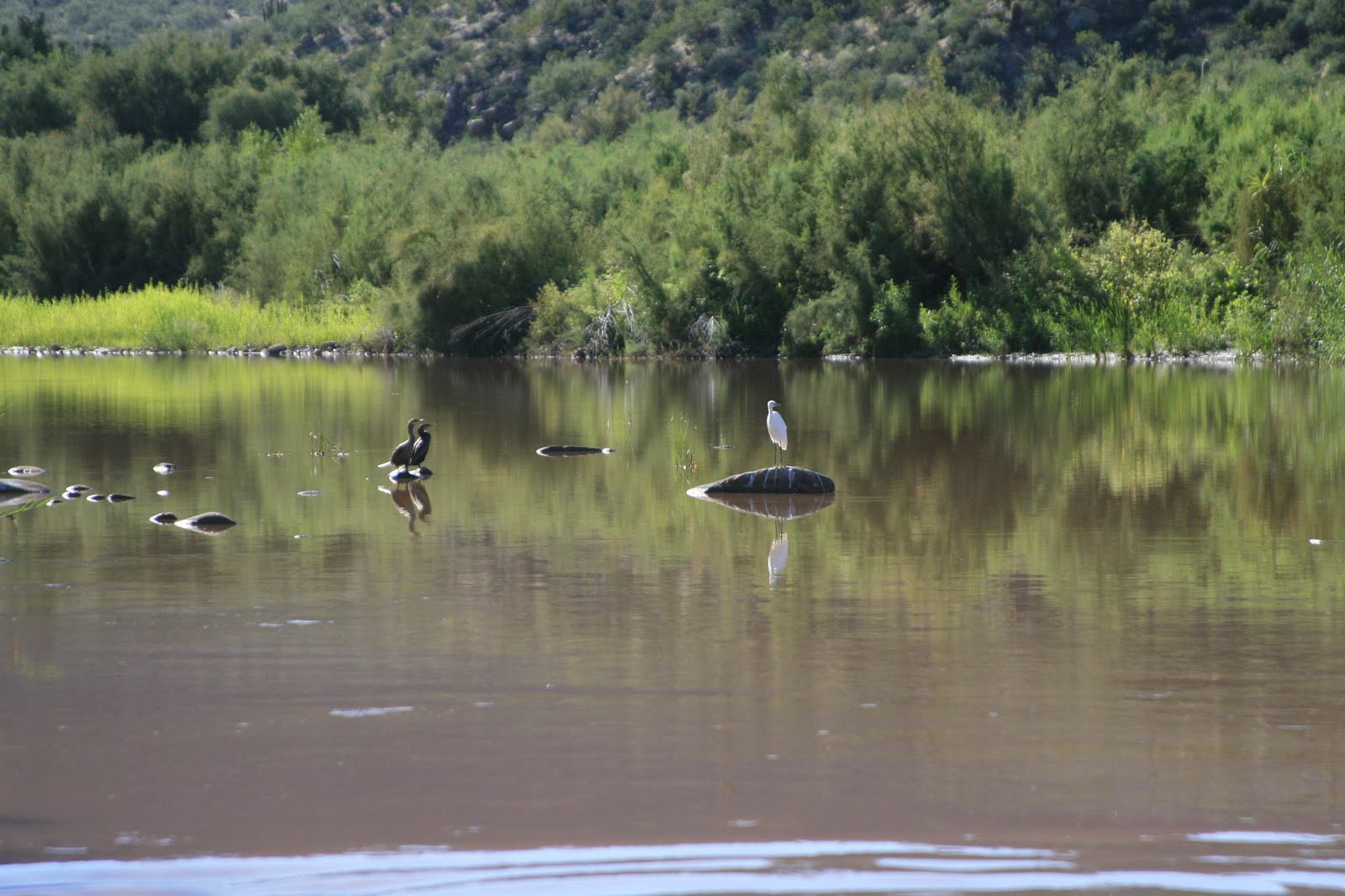
Ponderosa pine along with white and douglas firs surround the campground and shade it well, even during the summer months. The cool waters of Canyon Creek begin in a spring above the hatchery. The hatchery has self guided tours running throughout the week until 4 p.m.. Rainbow and brown trout can be fished for with lures and flies only.
You will need to bear proof your camp here as the local wildlife includes black bear, elk, javelina, mountain lion, turkey and deer. Also, there is no trash service here so you will need to practice
PACK IT IN, PACK IT OUT!
From Payson travel 33 miles east on S.R. 260 to F.R. 512
(Young Road). Turn left 2.5 miles south at F.R. 33 Colcord Ridge
Campground and continue another 6 miles on a windy road to the campground on your right.
Canyon Creek Hatchery is nestled under the Mogollon Rim in the Tonto National Forest and sits at 6,600 feet in elevation near the headwaters of Canyon Creek. The hatchery is located approximately 45 miles east of Payson on Highway 260. Turn south off 260 onto Young Road (Forest Service Road 288) and travel south for three miles, then turn east on Forest Service Road 33 (located under the power line) and travel five miles to the facility. The roads are dirt from highway 260 south. The Young Road is a wide and maintained dirt road, and Forest Road (FR) 33 is a narrow dirt road. The last five miles of road to the hatchery are steep and winding which require a great deal of caution, especially during the winter months.
Canyon Creek Hatchery is located on lands owned by the U.S. Forest Service and has been in operation since 1971. The hatchery was renovated in 1992 to modernize operations. The hatchery raises approximately 240,000 catchable-sized trout and 500,000 to 750,000 fingerlings (3 inches) each year. It is fairly common for this hatchery to have thousands of eggs and small fish in the hatchery building during the spring and summer months. To grow a fish to catchable size takes approximately 24-30 months.
Canyon Creek Hatchery offers a self-guided tour of the hatchery, starting in the Visitor Center. There is also a show pond where visitors can glimpse and feed trophy-sized trout, or go fishing in nearby Canyon Creek. There is family camping nearby at Airplane Flats Campground, or several areas along the Young Road winding through the picturesque Mogollon Rim country of the Tonto National Forest.
Open from 8 a.m. to 4 p.m. 7 days a week except for Thanksgiving and Christmas.
The Rodeo–Chediski Fire was a wildfire that burned in east-central Arizona beginning on June 18, 2002, and was not controlled until July 7. It was the worst forest fire in Arizona's recorded history to date, consuming 467,066 acres (1,890.15 km2) of woodland. Several local communities, including Show Low, Pinetop-Lakeside, and Heber-Overgaard, were threatened and had to be evacuated.
Rodeo-Chedeski wildfire in 2002. Since then, the Canyon Creek area has been healing from the fire, and the landscape is returning to the lush foliage that once dominated the canyon.
The End!!


